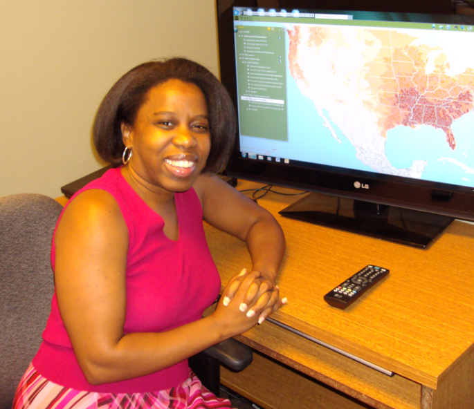
A geographic information system (GIS) is a computer system that can capture, store, analyze, manage, and display geographic data. A GIS professional uses the computer system to perform spatial analyses on geographic data to answer scientific questions and present the results in maps.
My ability to be detail-oriented and enjoy a challenge contribute most to my research. My work is like putting together a puzzle. The data layers are my puzzle pieces, and I have to figure how to put them together to answer the scientific question.
I work with the Water Supply Stress Index (WaSSI) model. This model looks at the effects of climate change, land use change, and water use change on water supply across the United States. One question I have asked is, will climate or land use changes have the most impact on water supply?
I use computer mapping software called ArcGIS and a computer programming language called Python in my research. I use Python to automate tasks too complex to do by hand. I use ArcGIS for spatial analysis. Spatial analysis takes different kinds of information, each connected to a location on a map, and combines it. The result is like a map sandwich, with each location on the map having layers of information.
Using the WaSSI model we have determined that on a regional scale future climate could have a greater impact on water stress than land use changes, however on a local scale land use changes have a great impact on water stress.
I knew in the 7th grade that I wanted to become a scientist. My initial goal was becoming a seismologist, which required majoring in geology. My focus changed from seismology to GIS during my sophomore year of college. I loved that GIS could be applied to any discipline.