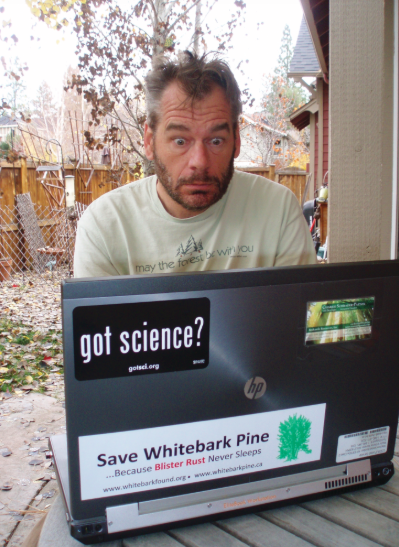
A geospatial (GIS, Remote Sensing) analyst uses computers to study digital map data and relate these maps to vegetation on the ground.
Skills that really help me do my job include creative problem solving, attention to detail, ability to use computers and software, and effective oral and written communication. Being an effective analyst is also about working with people—listening to their needs and working together on solutions.
Can we use images from satellites to accurately map damage to forests from insects and disease? To do this, we compare older images to newer ones using a process called change detection. We also read about the research done by other scientists to find out what they have learned.
We use powerful computers to analyze data from satellites orbiting the Earth. We often write our own software to perform these analyses. We also use Global Positioning System (GPS) devices to locate where we are on the ground and small aircraft to observe with our own eyes the things we see on the images.
The organization I work for is focused on creating tools for forest managers to visualize threats to the forest from things like insects, disease, wildfire, and drought. We developed a web browser mapping system that is easy for forest managers to use. It displays data from these threats so the managers can see where multiple threats occur.
I did a lot of hiking in the mountains of Oregon when I was growing up. I wondered why certain plants grow in some places and not others. In college I took an ecology class, and I was hooked!